01 — 03
Align the record
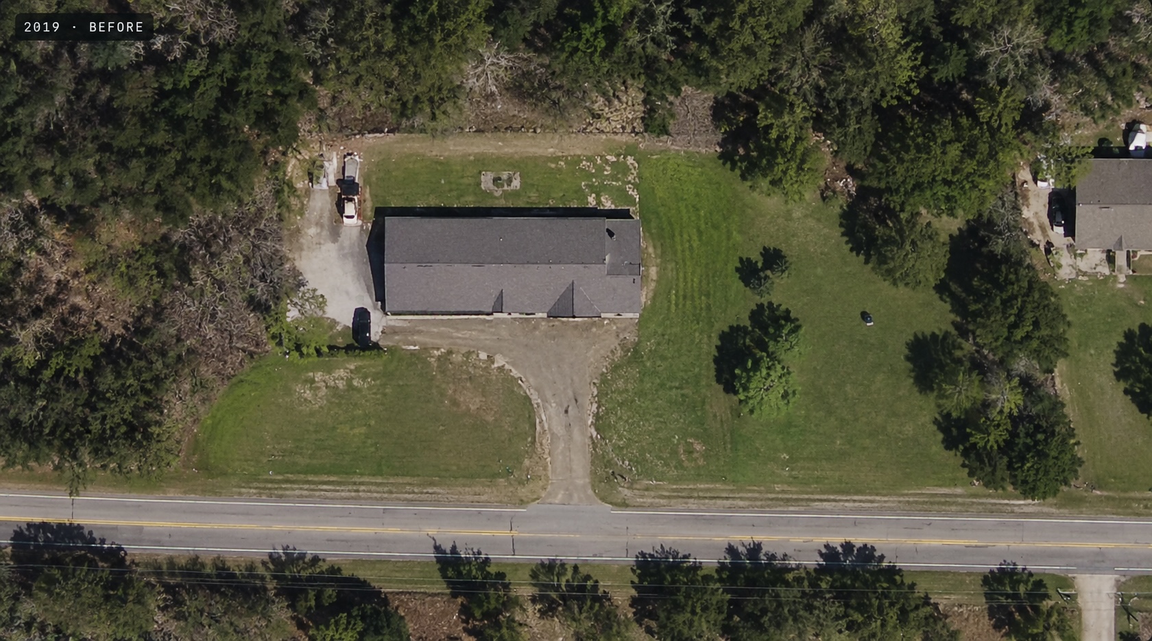
Two time periods, brought into one parcel-specific view.
Imagery, boundaries, and records line up before anyone reviews.
 Instinct
Property intelligence, made actionable
Instinct compares aerial imagery across time and gives review teams a clear, evidence-backed starting point.
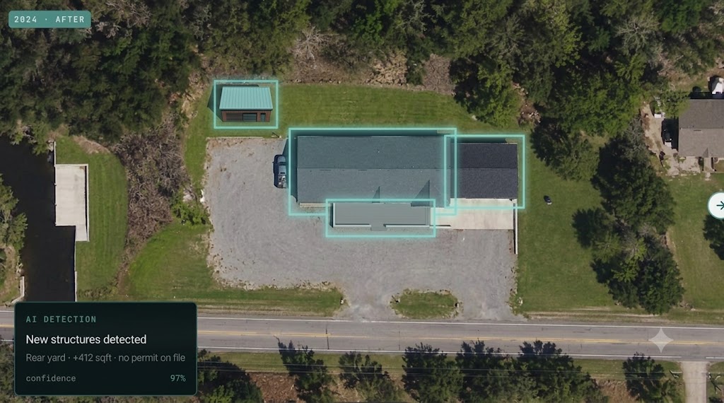
Existing imagery tells a municipality what a parcel looked like. Instinct turns the comparison into a consistent review queue, with the visual evidence and surrounding parcel context kept together.
See what a change looks likeWhat a queue can surface
The work stays grounded in a repeatable record: the imagery, what changed, and the context a reviewer needs to decide what happens next.
Two time periods, brought into one parcel-specific view.
Imagery, boundaries, and records line up before anyone reviews.
Candidate changes ranked, with visual evidence attached.
Reviewers see what changed and where — never a bare score.
The right record goes to the person who makes the call.
Routing stays with people. Nothing is decided automatically.
Instinct surfaces evidence. A person makes the determination.
A more deliberate workflow
No new imagery program, no replacement system. Instinct sits on top of the record your municipality already keeps.
Works with the aerial captures you already have — the comparison starts from your record, not a new flight.
Assessment and GIS context stays attached to every candidate change.
Records route to the person who makes the call. Nothing is decided automatically.
A focused pilot built from what your team already has: